Sunday, July 31, 2016

Highway 2 to Theadore Roosevelt National Park

US Highway 2 is one of the "old" roads. Similar to US Hwy 30 or the famous Route 66, Highway 2 is mostly two lane and winds through towns and villages alone the northern tier of states. There is a small section in the New England states but there is a long stretch that runs between Michigan's Upper Peninsula and the Washington coastline.

US Highway 2 in Montana
Some would think Hwy 2 is a boring drive but we enjoy traveling through farm country and not battling interstate traffic. This is harvest time and the combines are going full tilt.

Harvesting peas
Wheat harvest in Montana
OK, here's my version of art.
Of course, there are rocky areas where crops like wheat and peas don't grow well so hay and livestock are a better choices.


And then, there are some real surprises. We spied a small lake with pelicans. Pelicans? Yup, We had no idea we could find pelicans this far north but that's the beauty of driving on Hwy 2 instead of the interstate.


Carolyn checked the map as we were headed eastbound on US Highway 2 and noticed Theadore Roosevelt National Park was not too far south of our route. Since we were still not pressed for time, we decided to take a detour. Our new route would take us a bit south.

We were heading eastbound and enjoying the scenery.  Carolyn was checking the map and said, " you know, we will be close to the Theodore Roosevelt National Park". We had visited this park in 2015 and enjoyed it very much – we still had plenty of time to make it home before our mid August timeline so decided why not see this fun park again?


The area around the Theadore Roosevelt National Park is pretty remote but energy has changed some of the solitude. In fact, Watford City that is only 15 miles north of TR NP is considered by many to be the center of the oil boom that began in the early 2000's. But nearby, there are also a few electricity generating windmills. I hope both forms of energy are successful. 


Theadore Roosevelt National Park has two units in western North Dakota. The southern unit is near Medora, ND. The northern unit was the original Elkhorn Ranch established by Teddy R. in 1884 and lies about 35 miles north of Medora.
Theadore Roosevelt National Park - North Unit
The Theadore Roosevelt National Park has a southern unit near Medora, ND and a much smaller northern unit about 35 mile north. This is not a touristy national park. You probably won't find huge traffic backups but the 14 mile scenic drive through the park is like a micro version of the Badlands to forested area. An unusual feature are the the sandstone cliffs with the large concretions nicknamed "cannonballs". They are quite spectacular and formed by deposits of minerals around a sandstone core. They are exposed by natural erosion of the sandstone and eventually fall to the area below. 


Concretions being exposed through erosion
A "cannonball" that rolled to the area below.
There are views of the Little Missouri River...

Civilian Conservation Corps shelter overlooking the Little Missouri River
and views of blue colored Bentonitic Clay...


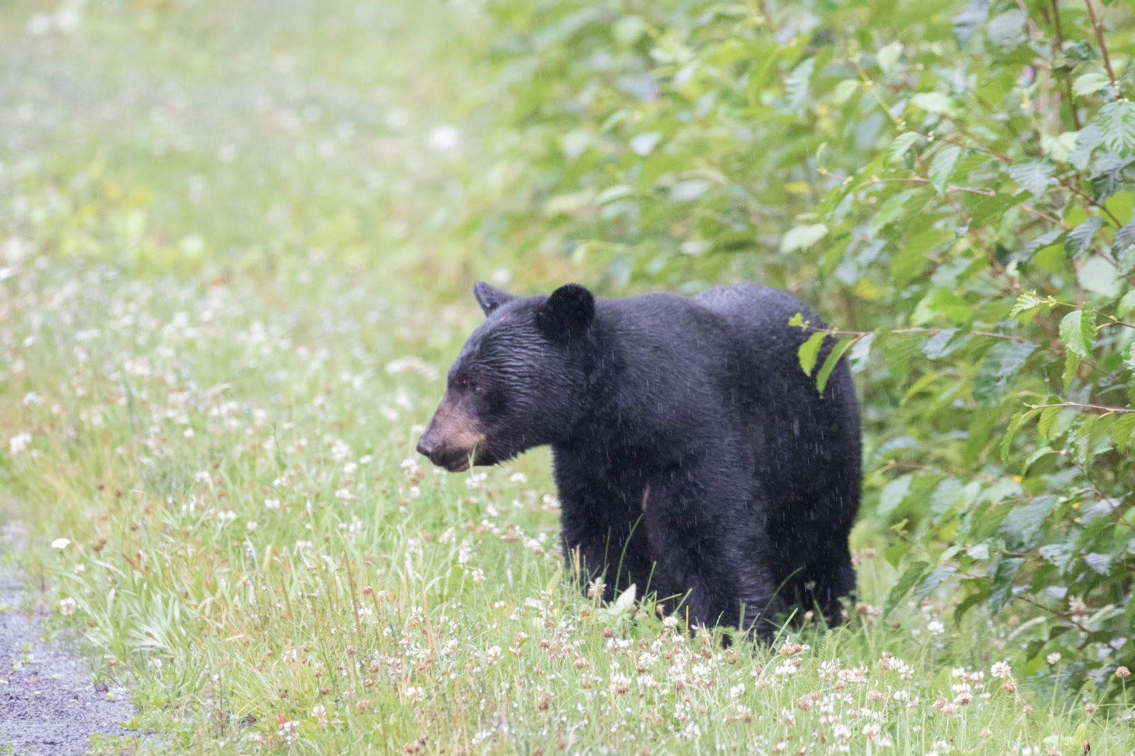
We were also fortunate to see a lot of wildlife.We arrived at the park around 6pm, a perfect time to see critters out for their evening stroll. Just a couple miles from the entrance, we saw several longhorn steers from the small herd that is maintained in the park. Then we spied this mule deer and two fawns in a wooded area. Another mile up the road, we saw a number of bison. We stopped to take photos as they moved. Soon, the herd was in front of us and blocking the entrance to our campground. We patiently watch until they cleared the road and allowed us to reach our camp site.


The bison were in rut (that's when the guys are looking for the ladies). There were low "growls" from the males and it was not hard to figure out the dominant bulls. We were getting situated in our camp site when the herd made their way to some trees a couple hundred yards from us. I grabbed my camera and headed toward them. I was about 75 yards from them and standing beside the restroom incase I needed a safe space when all hell broke loose between two of the big bulls. The video below is raw footage as I shot it. Holy Toledo, it was intense!!!

Click on this link

We were also fortunate to get a heads up from a Park Ranger that the Bighorn sheep were spotted near Long-X pull off. We quickly headed there and were rewarded with a rare glimpse of a dozen or so Bighorn sheep. 


Saturday, July 30, 2016

Long drive back to the USA

Leaving Hyder meant we were leaving Alaska for the last time. Sort of sad but we will take many special memories and what the heck...we still have some great travels in front of us as we head toward the USA. We have no schedule but plan to revisit Jasper and Banff National Parks since we rushed through on our way north.

Just a few miles from Hyder, we came upon a 5th wheel with the owner changing a tire. We stopped to see if they could use some help. Indeed they could, the elderly owner had been able to remove the flat tire but was having trouble getting the spare on the lugs. His jack would get high enough so we blocked the axle and added one of my leveling boards under the jack. Aha, worked like a charm and we were able to mount the tire. We checked the air pressure and found the spare had only 20 psi. The gentleman admitted he had never checked the pressure in the spare. Oh man! I didn't say what I thought but asked if he had an air compressor...no.

Fortunately, before leaving on this trip, I added a few few items to my safety kit. A Viair 300P compressor was one of the things I added. We plugged it in and raised the pressure to the recommended 80 psi in just a few minutes.


Look'n good as the air pressure approached 80 psi.
About 20 miles more, we came upon a big Class A diesel pusher. It looked like they were working on their tow dolly so we stopped and asked if they needed help. Yes, you don't have a jack do you? Sure do I said so once again, I went to my safety kit and pulled the 8 ton bottle jack from the storage compartment.

The tire on their dolly had shred, wrecked the fender and bent the bracket making it difficult to remove the battered tire. My jack lifted the dolly which allowed us to remove the tire and mangled bracket.

The spare tire was installed and...and...yup, just like the tire on the 5th wheel, this one had low air pressure too so the Viair 300P was brought into service once again. This time, it was a piece of cake since only 30 psi was needed in the small tire.


Fortunately, we didn't have to use any of these things but they came in hand for helping a couple other travelers. Carolyn and I continued on our way with the satisfaction that we had helps a couple fellow travelers. 

I've been asked what tools I take when we travel. Keep in mind, a Class B motorhome doesn't have a lot of extra space so I choose carefully. Even so, I probably over do it with a tool box full of sockets, wrenches, pliers and screw drivers. Of course, in today's world, we need both SAE (American) and metric so that adds to the bulk. I also carry the following. 
  • high quality jumper cables
  • 8 ton bottle jack
  • Viair 300P compressor
  • Speedy Seal tire repair kit
We didn't use the tire repair kit but everything else was used to help other travelers on this trip. 

Safety kit.
Continuing eastbound on Highway 16, we left the Coastal Mountains behind and settled into the flatlands of the Chilcotin Plateau. The route took us through a number of towns and villages. One of the interesting stops was in Kitwanga, a small indian village with a population of a couple hundred. The Kitwanga region was once the site of fierce tribal battles. Today, it is known as an area with many totems that tell their history. Below is just one totem and the old St. Paul's Anglican Church that was build in the late 1800's.

Wolf totem
Wolf on top of totem
St. Paul's Anglican Church, Kitwanga
While traveling, we aren't concerned about finding a campground with lots of amenities like swimming pools, groomed trails and visitor centers. We just need a place to spend the night.  On this night, it was the Cluculz Lake Rest Area. We park in an out-of-the-way place and almost always have two or three other RVers around us so we never feel concerned about the area.


Female Warbler
This area is relatively flat so we are beginning to see farming operations (mostly beef cattle) and timber. There was a constant stream of trucks like these passing the Cluculz Lake Rest Area.

Timber Truck
Today, we would like to make to to Jasper National Park and the Icefields Parkway. The Icefields Parkway was a beautiful drive when we were northbound so we are looking forward to seeing it again. We were still 30 miles from Jasper when were given an unexpected view. We came around a curve and witnessed this view. HOLY COW!


Then, just a few miles up the road, we came across this big guy. We had seen many elk over the previous few weeks but this guy was amazing.


We ended our great day with a delicious dinner.


We spent our last day in Canada with a beautiful drive southbound on the Icefields Highway through Jasper and Banff National Parks. Even though it is late August, the snow pack on the mountains is still very thick. Truly, this is the Icefields Highway.


Thanks for the great memories Canada!

Tuesday, July 26, 2016

Hyder, Alaska

Our next stop will be Hyder, Alaska.  Getting there isn't exactly a straight line but that's part of the fun. We will travel back to British Columbia and Yukon Territory before crossing the border crossing the border at Stewart, BC. A 700 mile drive that will hopefully take us to a salmon filled river and some up-close views of Grizzlies.

Just a few miles from Skagway, we spotted the White Pass & Yukon Railroad train heading north.


We saw a sign along the road for a bakery advertising sourdough bread so we stopped in Carcross to stock up. The scones and sourdough bread were AMAZING and we enjoyed everything for several days.

We took Hwy 8 from Carcross which is a small shortcut over to the Alaskan Hwy then south on Hwy 37, the Cassiar Hwy. 


We stopped to take a couple photos of this gold mine. The trammel had the name of the mine, Holloway Bar, so I checked the internet and found the owners had made YouTube videos in 2011. Click on the link below to go to the first of four videos.

A few miles down the road, we came across the Cassiar Mountain Jade Store. At first, it seemed to be a typical tourist trap it have to admit it was interesting watching a stone cutter working in the outdoor work-shop. Inside the store, there was some very nice jade products. Even though we didn't purchase anything bit it turned out to be a fun stop.


Next stop...Hyder, Alaska. Hyde is in the far southeastern corner of Alaska and home of Fish Creek, a bear watching area operated by the U.S. Forest Service. We continue south in Hwy 37 and turned westbound 37A at Meziadin Jct.  for the 40 mile drive to the Salmon River area and Hyder, Alaska. 


We spied a nice black bear eating beside the road...

and stopped to check out Bear Glacier...


and made it to Hyder around 3PM.


A bucket list goal was to photograph a grizzly. Last year, we looked in the Grand Teton National Park and Yellowstone Nation Park with no luck. We did spot a grizzly in Denali but it was a few hundred yards away. With any luck, this portion of the trip will yield REAL results and we can get some photos of a nice grizzly.

The Fish Creek observation site is about four miles north of Hyder on recently blacktopped road. The station is a small building along the road with parking for 20 to 30 vehicles. The admission to the viewing area is $5.00 per day of $10 for three days. We decided to go for the three day pass.


The NFS constructed a boardwalk overlooking the river in an area that draws lots of spawning salmon (and hopefully bears) each summer. Black bears and brown bears (grizzly) fish for salmon in the shallow waters as they spawn. The number of bears that come to this area is different each year – sometimes there are several bears. Eagles, beaver, wolves and other critters are regular visitors to the site.

Once on the boardwalk, it's not hard to understand why this is a favorite area to hunt for salmon. They are plentiful and the water is clear and shallow. Sometimes the salmon almost get stuck on gravel bars.

During our visit, there was a female grizzly that shows up each day between 5pm and 7pm.  Here are a few photos of her fishing and enjoying her catch. 


A beaver was working hard...

and the eagles were close by looking for pieces of salmon the bear left behind.

This eagle found a leftover salmon carcass.

Video of salmon, grizzly and eagles

We didn't know about the Salmon Glacier before arriving at Fish Creek but learned it was only a 15 mile drive up a narrow dirt road. Salmon Glacier is the fifth largest glacier in North America and since it is at 4,300 feet, it is not melting as rapidly as many other glaciers.
The top of Salmon Glacier from the lookout. It comes toward us and makes a right turn to flow down the valley.
The bottom of Salmon Glacier and it flows down the valley.
Our 12,000 year old souvenir. We brought a piece of Salmon Glacier home with us.
Hyder turned out to be a fun stop along the way. There was a lot of sitting and waiting for the grizzly but she did and she provided a fun show watching her fish for salmon. There was also some bonus photos of a beaver and quite a few eagles. Finally, Salmon Glacier was a great bonus and something that shouldn't be missed for anyone who visits Fish Creek.

Leaving Alaska for the last time.